VMEC-GEO
GENERAL INFORMATION
GENERAL INFORMATION
WHAT IS ENGINEERING GEOLOGICAL SURVEY? REGULATIONS FOR IMPLEMENTATION
Trong quá trình xây dựng, việc thực hiện thăm dò hiện trường giúp các nhà thiết kế đưa ra giải pháp nền móng phù hợp. Hãy cùng chúng tôi tìm hiểu về khoan khảo sát địa chất công trình và các quy định về khoan khảo sát qua bài viết dưới đây.
What is engineering geological survey drilling?
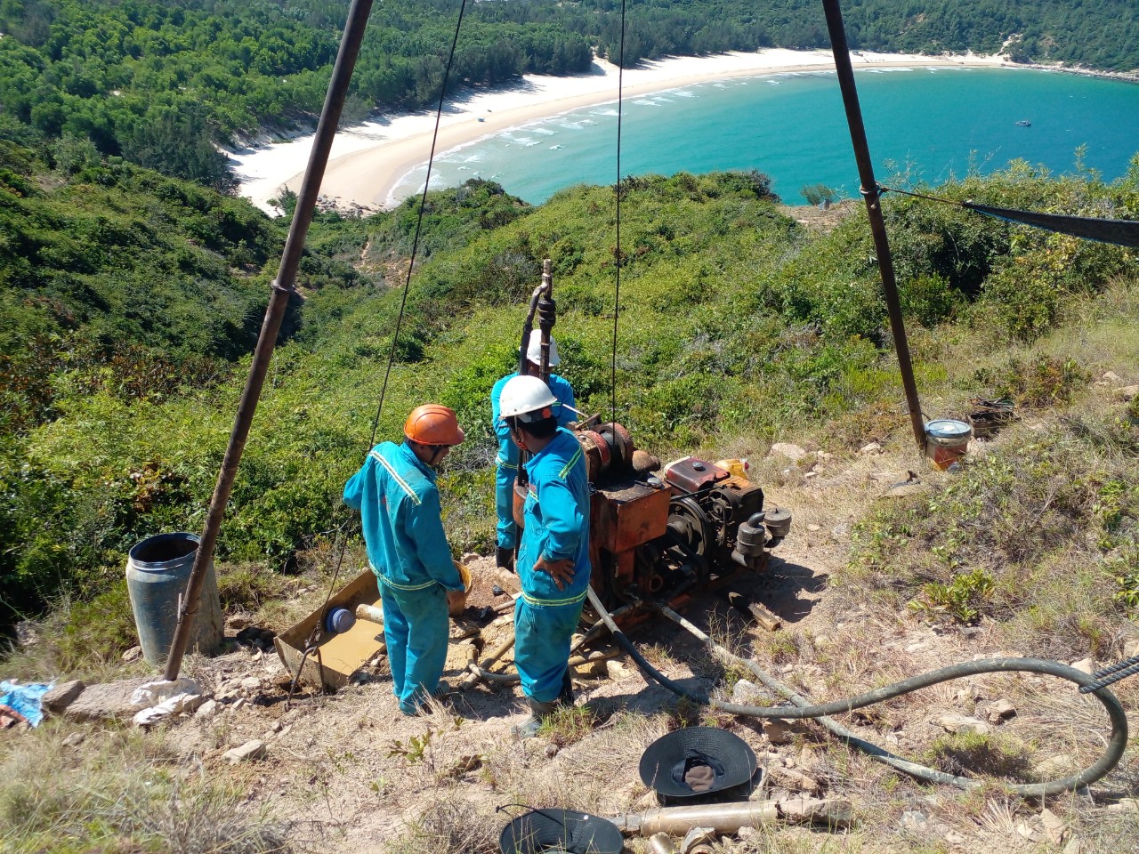
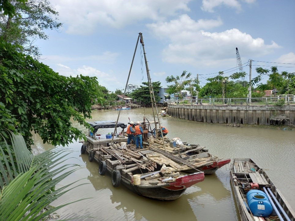
Engineering geological survey drilling is the work of drilling holes, taking soil samples to collect information on the physical properties of the ground, geological structure, underground water conditions and geological phenomena at the construction site.


- Assessing the suitability of the construction site: Based on the survey results, geologists can assess whether the construction site is suitable for the type of project planned or not. For example, if the ground is too weak and cannot bear the load of the project, it is necessary to improve the ground before construction.
- Choosing a foundation design solution: Information about geological properties helps design engineers choose a suitable foundation solution, ensuring safety and cost savings for the project. For example, if the ground is weak clay, it is necessary to design a pile foundation to transfer the load to a deeper soil layer.
- Construction measures: The survey results also help to plan appropriate construction measures to handle geological problems that may occur during construction, such as subsidence, land subsidence, flooding, etc.
Regulations on geological survey drilling


.png)
.png)
Some regulations on items in geological survey drilling include:
Regulations on specific projects:
- Housing: According to the provisions of Circular No. 39/2009 TT-BXD, the construction of residential buildings from 3 floors or more with a construction area exceeding 25m2 must conduct a site survey before construction.
- High-rise apartment buildings: In the application for a construction permit, it is necessary to provide information and data on the foundation design. In addition, it is necessary to have a plan for arranging 3-axis compression testing to evaluate different foundation options.
- Factories: For factories in industrial zones, a construction permit is required.
- Schools: Regulations require that both low-rise and high-rise schools must conduct geological exploration drilling to ensure safety during construction.
- Hospitals: Areas such as health examination areas, emergency areas, office areas, and post-operative areas require at least 3 survey boreholes, and the number of boreholes is specified depending on the number of floors to be built.
- On ports and roads: Conducting survey drilling along existing or unformed routes is important, with a drilling depth of 5m to 30m for each point, and a distance between two drilling points of 500m to 1000m.
Depth regulations
According to regulations on geological survey drilling for construction works, the standard geological survey drilling depth is divided into 3 types.
- In case of simple underground geology and large-scale projects: When the ground is assessed as good, drilling should be done from 5m to 10m and avoid drilling into the unweathered rock layer.
- In case of soil layer is the average geology of a large project: If the soil is assessed as good, drilling should have an average depth of about 10m. In case of unstable soil, it is necessary to drill through the weak soil layer and continue drilling to a depth of over 3m. Care should be taken when drilling into shallow rock layers and appropriate measures should be applied.
- In complex geological environments and with large-scale and important projects: Drilling should be done up to 16m if the soil layer is assessed as good. In case of weak soil, it is necessary to drill to a minimum depth of 3m. If encountering a shallow rock layer, it is necessary to poke into the fresh rock layer from 1m.
Number of boreholes
There are two types: normal drilling and controlled drilling as prescribed in the regulations on geological survey drilling.
According to TCVN 9363-2012 standard, controlling the number of boreholes must ensure that the boreholes are smaller and deeper than normal boreholes. Specifically, the number of geological survey boreholes must be at least 1/3 of the number of survey points. At the same time, the number of boreholes must not be less than 2/3 of the total number of measurement points. The specific number of boreholes depends on the type of construction project.
Distance between two boreholes
The distance between measurement points is usually from 50-200m, depending on the geological characteristics and technical requirements of each construction area.
- Simple geology: The distance between boreholes is from 50m to 75m, and the additional penetration distance is from 25m to 30m. Residential projects require at least 3 boreholes.
- Important Geology: Drilling distance is usually 30-50m, and the average additional distance is 15m. Private housing projects need at least 3 holes, buildings need 5 holes.
- Complex Geology: Drilling distance is 20-30m, and the average distance is 10m. Private housing projects need at least 3 holes, residential areas need 5 holes. Note to increase the distance if there is soft soil, sliding blocks, or limestone.


